|
Bangladesh
BANGLADESH, relatively small coastal country of south-central Asia.The capital is Dhaka (formerly spelled Dacca).
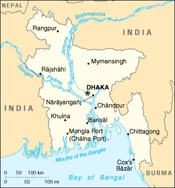
Bangladesh ("Land of the Bengalis") is an independent Asian state located in South Asia, the delta of the Ganges and Jamuna (Brahmaputra) rivers in the northeastern part of the Indian subcontinent. (The Largest Delta in the World) The country's official name is the People's Republic of Bangladesh from 1947 until 1971 it was, as East Pakistan, one of five provinces of Pakistan, separated from the other four by 1,100 miles (1,800 kilometres) of Indian territory.
Bangladesh declared it's indenpendence in 26th of March 1971, and won the freedom war in 16th of December same year (1971).
Bangladesh, is a riverine country. It has an area of 55,598 square miles (143,998 square kilometres) and is one of the most densely populated countries in the world. Bangladesh is bounded by India to the west and north, by Myanmar (Burma) to the southeast, and by the Bay of Bengal to the south.
The country lies between latitudes 20°34' and 26°38' N (about 390 miles [625 km] from its extreme north and south extensions) and between longitudes 88°01' and 92°41' E (about 190 miles [305 km] from east to west). To the south Bangladesh has an irregular coastline fronting the Bay of Bengal.
Area 56,977 square miles (147,570 square km).
Pop. (1996 est.) 123,063,000.
|
|
 Flag of Bangladesh | Map of Bangladesh | Pictures from Bangladesh Flag of Bangladesh | Map of Bangladesh | Pictures from Bangladesh
|
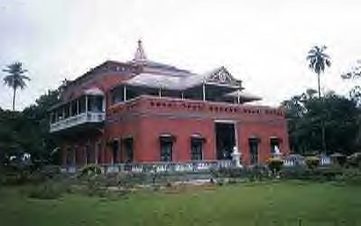
Image title would go here.
Bangladesh's low-lying landscape is dominated by the confluence of the Ganges (or Padma, as the united streams of the Ganges and Brahmaputra are known), the Brahmaputra (Jamuna), and the Meghna river systems, which empty into the Bay of Bengal. Bangladesh constitutes the eastern two-thirds of the Ganges-Brahmaputra deltaic plain, stretches northward to include the triangular wedge of land between the Ganges and the Brahmaputra above their confluence, and extends eastward to embrace the valley plain of the Surma River. Farther east the alluvial plains give place to ridges running mainly north-south that form part of the mountain divide with Myanmar in the southeast.
Excepting small higher areas of old alluvium, the whole plain is a flat surface of new alluvium, having a very gentle slope, generally with an elevation of less than 30 feet (9 m) above sea level. More than 90 percent of the area of Bangladesh is composed of plains. Lakes, swamps, and marshes form the other important aspect of the amphibious landscape. On the flatlands, rivers divide and subdivide themselves into numerous distributaries with raised banks. Hundreds of square miles of land are flooded during the monsoon season.
South-central Bangladesh comprises an old western delta, with dead and decaying rivers, and the eastern new delta, with active rivers carrying on depositional or constructive work. The southern coastal belt, which carries the mangrove forests (Sundarbans), is a salt marsh. The narrow southeastern coastal belt near Noakhali and Chittagong is formed of both old and recent alluvium. East of the southeastern coastal belt lies the hilly area called the Chittagong Hill Tracts, which consists of low hills of soft rocks, mainly clay and shale. Its north-south ranges are generally below 2,000 feet (610 m) in height, the highest peak, Keokradong, rising to 3,041 feet (927 m).
|
|
|
|
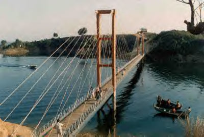
Image title would go here.
. |
Climate
The climate and hydrology of Bangladesh are dramatically affected by the annual monsoon season (June through October); three-quarters of the country's precipitation occurs during this five-month period. During the monsoon season many rivers overflow their banks and inundate the countryside; these floods deposit fertile silt on the nation's farmland. The hydrology of the Chittagong highlands is also important because the power plant at the Karnaphuli dam (forming the Karnaphuli Reservoir) provides much of the country's hydroelectric capacity. Annual rates of precipitation vary from a low of 40 to 80 inches (1,000 to 2,000 mm) in the western lowlands to more than 150 inches in the Sylhet Hills in the northeast. The temperature varies generally between 70° F (21° C) in the winter and 95° F (35° C) in the summer. In the early summer (April and May) and late in the monsoon season, high-intensity storms, including cyclones.
|
|
|
|
Land
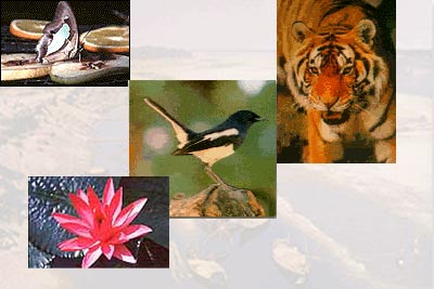
More than two-thirds of Bangladesh's land is considered arable and lies primarily in the lowland regions; one-fifth is irrigated. Forests cover about one-sixth of the country. Plant and animal life includes royal Bengal tigers, clouded leopards, and Asian elephants, all endangered species.
|
People
BANGLADESH, relatively small coastal country of south-central Asia.The capital is Dhaka (formerly spelled Dacca).
Bangladesh ("Land of the Bengalis") is an independent Asian state located in South Asia, the delta of the Ganges and Jamuna (Brahmaputra) rivers in the northeastern part of the Indian subcontinent. (The Largest Delta in the World) The country's official name is the People's Republic of Bangladesh from 1947 until 1971 it was, as East Pakistan, one of five provinces of Pakistan, separated from the other four by 1,100 miles (1,800 kilometres) of Indian territory.
Bangladesh declared it's indenpendence in 26th of March 1971, and won the freedom war in 16th of December same year (1971).
|
|
|
|
|
|
|
|
|
|
|
|
|
|
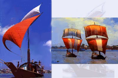
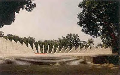
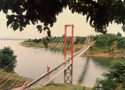
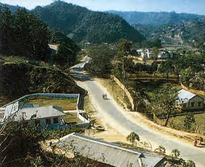
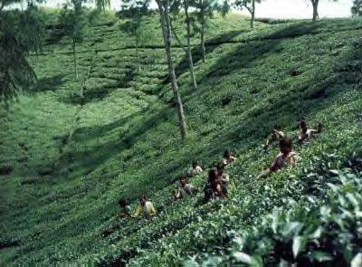
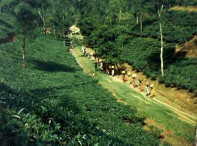
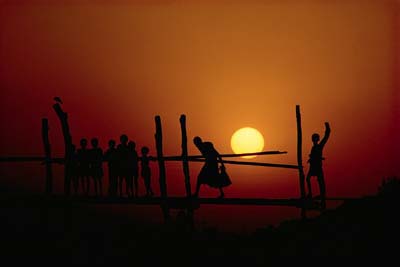
These are a few of my favorite photographs from my different travels. Feel free to browse them as you like. If you want one click your right mouse button and choose "Save As" from the menu. |
. |
|
|
|
|
|
|
|
|